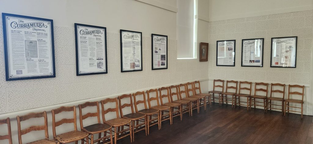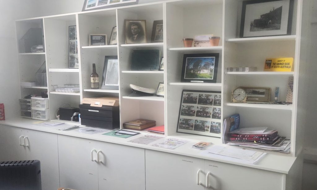
The Curramulka Cultural Heritage Group (CCHG) maintains a publicly accessible repository of historical information related to the town and district of Curramulka, encouraging community participation in local history.
Our collection includes historical photographs, historical maps of the town and Hundred, oral history recordings, information about each of the soldiers who served during WWI and WWII who were from Curramulka, cemetery records (including tracing the unmarked gravesites), family history information, records of past meetings of the many clubs and groups associated with the town, and information about the historical occupancy of each of the town blocks and the agricultural land sections in the Curramulka district.
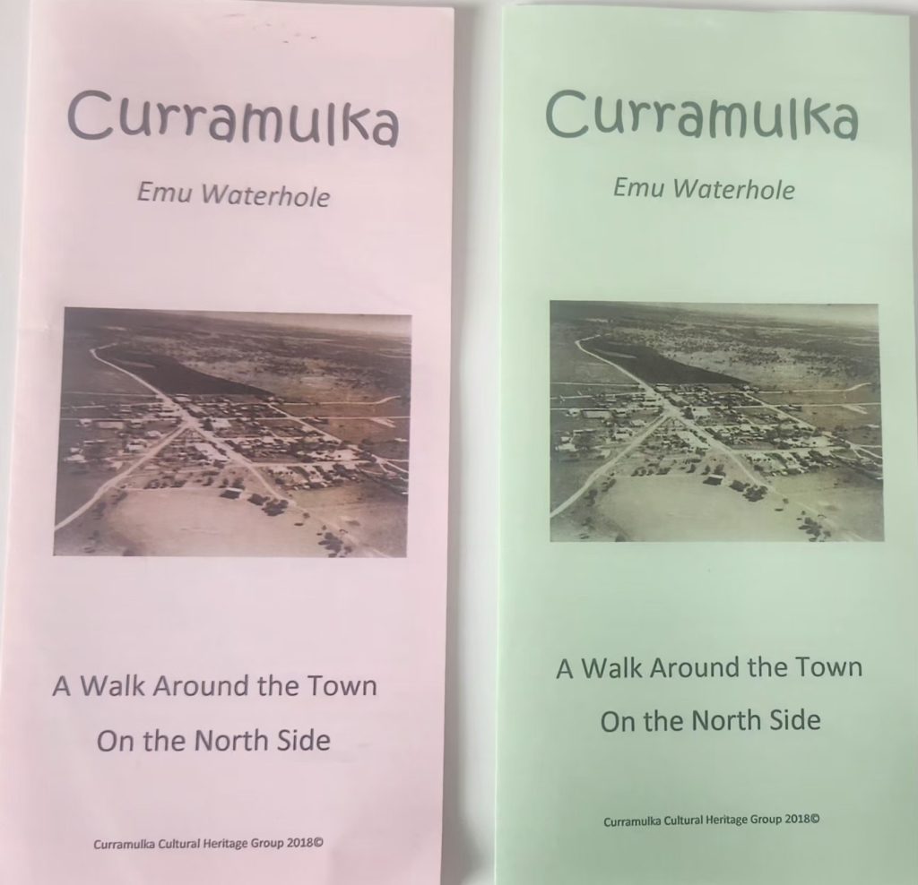
Visitors to the town are encouraged to pick up a pamphlet from the General Store and follow one of the two self-guided historical town walks. These are divided into northern and southern sections, providing a fantastic insight into the town’s development.
Alternatively, visit the Curramulka Cemetery, located a short drive east of the town. Pick up a copy of the redesigned cemetery map from the General Store; it includes easy-to-follow plot and row numbers.
The recently updated ‘Curramulka 1876-1975’, authored by Alan Jones and initially published in 1975, is available for purchase from the CCHG, the Curramulka General Store, and the Visitor Information Centre (located nearby in Minlaton).
We are approaching the significant milestone of 150 years since the land in the Curramulka district was released. Anyone interested in contributing information is invited to share documents, anecdotes, or historical images (which we can copy) with us. Such contributions to the upcoming sesquicentennial are incredibly valuable.